Marks that remember
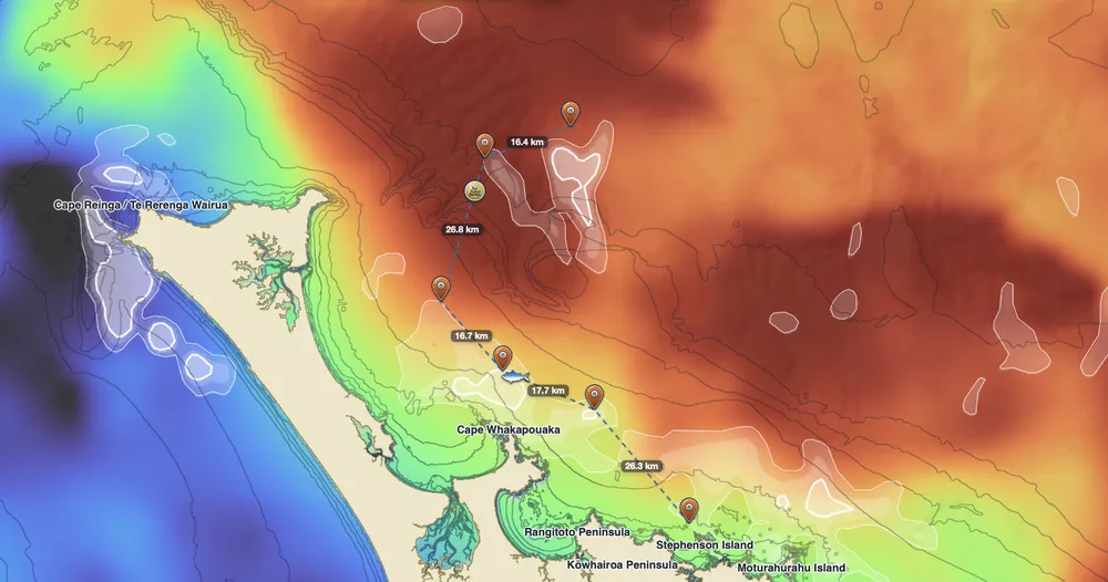
Drop a mark for Fish, Structure, Bait Sign, Hazard or anything else. Each mark records the conditions at that spot when you dropped it: sea temperature, water colour, currents and depth.
Log the species, a hookup, caught or released, your method, length and weight.
Trips and tracks
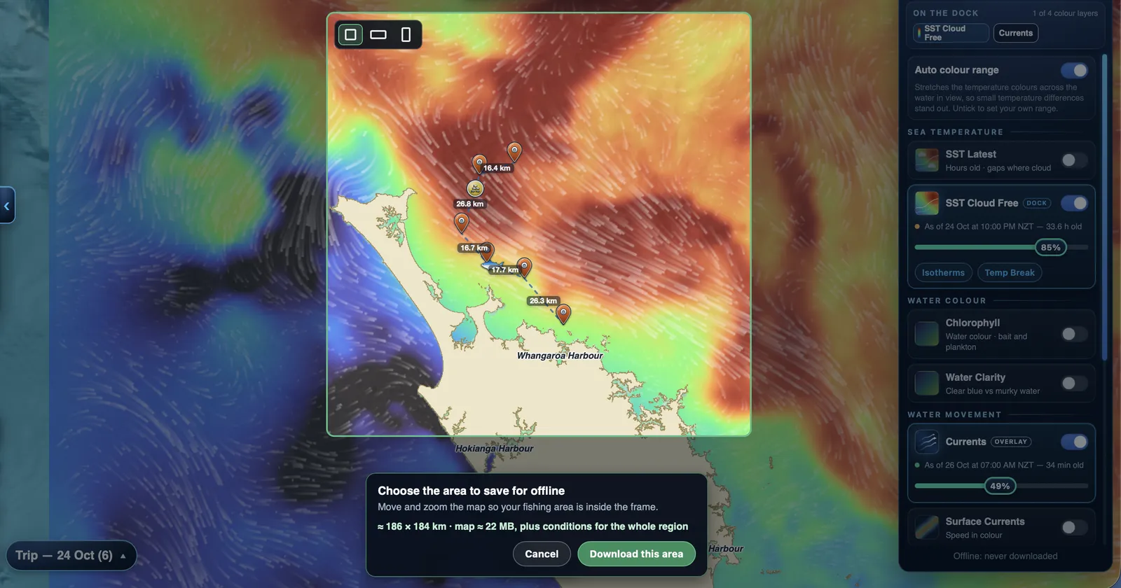
Start a trip and record your track, so you can see the water you've already covered. Marks you drop go into the trip, with distances along your route.
Waypoints and tools
Plan waypoints, measure distances, search places and draw on the chart. Distances in kilometres, miles or nautical miles.
Offline mode
Turn on Offline mode when there's no signal: the app stops trying the network, which is quicker and easier on the battery.
Syncs when you're back
Marks, waypoints and trips are saved to your account. Changes made offline sync when you're back in signal.
Take it to the plotter
Export trips, waypoints and tracks as GPX for your chartplotter or other apps.